-
The websites described here were designed and developed by Robine GIS
Click on the image or link below the image to view the website
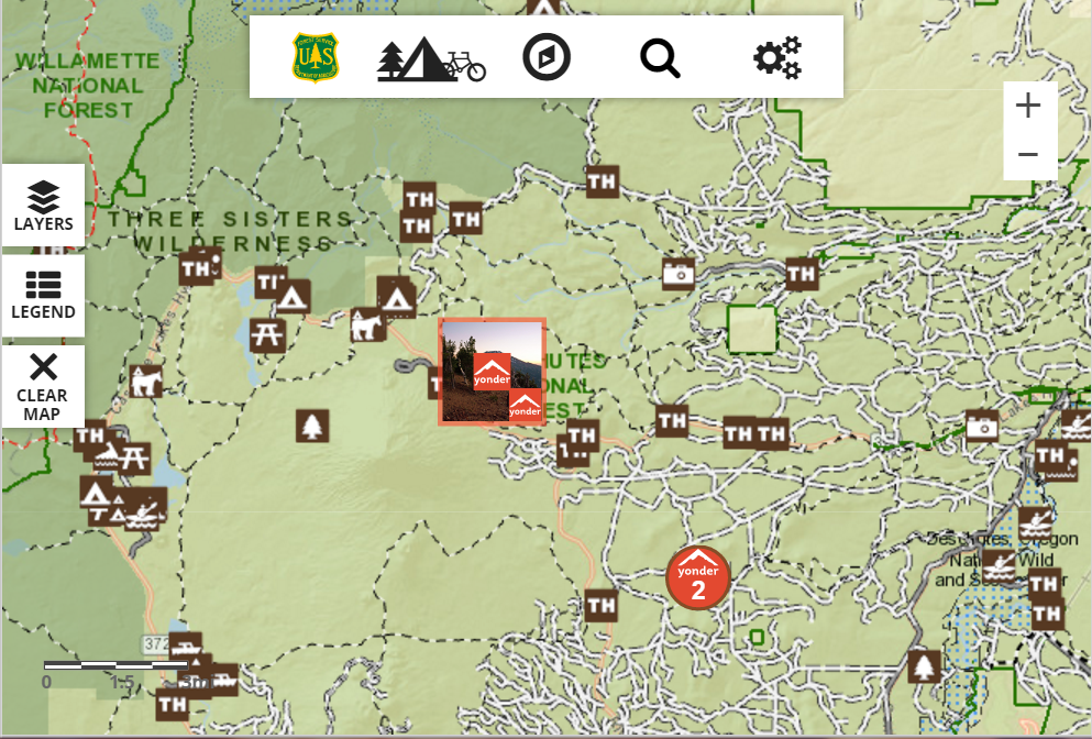
Robine GIS has been working with the US Forest Service to develop an Interactive Visitor Map (IVM) application. The application, which was
developed using ESRI’s ArcGIS Server JavaScript API as well as several leading-edge HTML5 technologies including AngularJS,
JQuery, CSS3, Bootstrap and others, allows the public to explore recreational opportunities on any Forest Service
land throughout the entire US using smartphones, browsers or tablet devices. Version 2.0, which was released in the summer of 2016,
features social media data from Twitter and Yonder as well as other data such as current fire and weather (warnings and events) data.
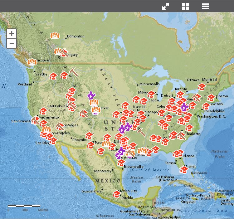
Robine GIS developed several mapping applications for the American Association of Petroleum Geologists (AAPG). The interactive map
application pictured here, allows members to find out about current and future events, seminars, meetings, and classes going on throughout
the US and abroad. Robine GIS developed the application using HTML5 (AngularJS), ArcGIS Server and the JavaScript API.
In addition to the HTML5-based interactive maps, Robine GIS also developed a Silverlight
application for AAPG.
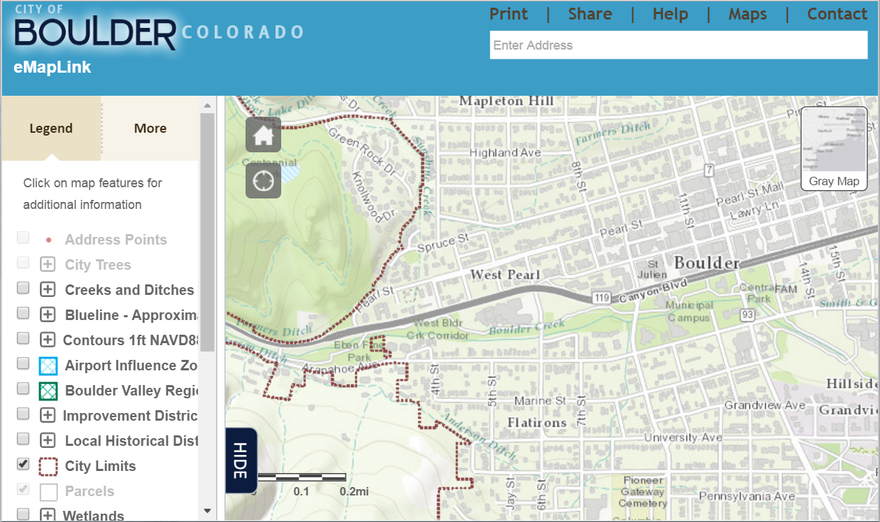
Robine GIS developed a Web application and Web mapping template called eMapLink for the City of Boulder, Colorado.
The eMapLink is the centralized portal to GIS and map information for the city. The application displays
comprehensive parcel information from Boulder County and the city's Property Information Report.
The map provides access to the following types of data: zoning; land use; flood; annexation; wetlands; ownership parcel; and other information.
Robine GIS developed it using an ArcGIS Online mapping template, ESRI's JavaScript API and DOJO.


